:::: MENU ::::
TOP

Posts Categorized / News

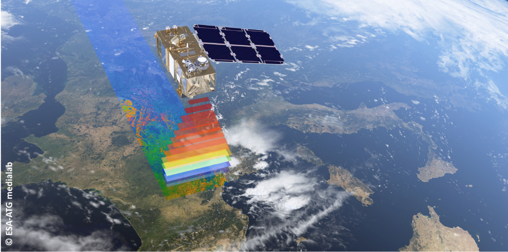
RSLab got a very important new project in the framework of the very challenging ICTcall of Horizon 2020 Research and Innovation Framework Programme of European Commission (average proposal success rate of 8%). The ExtremeEarth  project will concentrate on developing the technologies that will make Europe a pioneer in the area of Extreme Earth Analytics i.e., the Remote Sensing and Artificial Intelligence techniques that are needed for extracting information and knowledge out of the petabytes of  Copernicus satellite remote sensing Big Data.

Project abstract

Copernicus is the European program for monitoring the Earth. The geospatial data produced by the Sentinel satellites puts Copernicus at the forefront of the Big Data paradigm, giving rise to all the relevant challenges: volume, velocity, variety, veracity and value. ExtremeEarth concentrates on developing the technologies that will make Europe a pioneer in the area of Extreme Earth Analytics i.e., the Remote Sensing and Artificial Intelligence techniques that are needed for extracting information and knowledge out of the petabytes of Copernicus data. The ExtremeEarth consortium consists of Remote Sensing and Artificial Intelligence researchers and technologists with outstanding scientific track records and relevant commercial expertise. The research and innovation activities undertaken in ExtremeEarth will significantly advance the frontiers in Big Data, Earth Analytics and Deep Learning for Copernicus data and Linked Geospatial Data, and make Europe the top player internationally in these areas. The ExtremeEarth technologies will be demonstrated in two use cases with societal, environmental and financial value: the Food Security use case and the Polar use case. ExtremeEarth will bring together the Food Security and Polar communities, and will work with them to develop technologies that can be used by these communities in the respective application areas. The results of ExtremeEarth will be exploited commercially by the industrial partners of the consortium.

project website

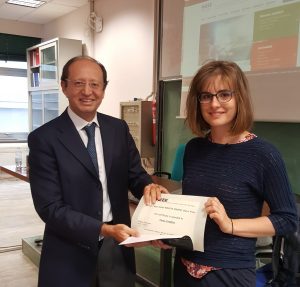
The paper “A Novel Automatic Approach to the Update of Land-Cover Maps by Unsupervised Classification of Remote Sensing Images” by Claudia Paris, Lorenzo Bruzzone, Diego Fernandez-Prieto presented at the IEEE International Geoscience and Remote Sensing Symposium (IGARSS 2017) hold in July 2017 in Fort Worth (US) got the very prestigious 2018 Symposium Prize Paper Award. The paper was “judged to be of exceptional merit” and resulted the winner out of more than 1000 papers presented in the oral sessions at the symposium. The award was presented at the Banquet of IGARSS 2018 hold in Valencia (Spain) on July 26th, 2018. It consists of a certificate and a honorarium.

Daniele Marinelli, PhD student at RSLab, got the Second Place in the Student Paper Competition at the 2018 IEEE International Geoscience and Remote Sensing Symposium (IGARSS 2018) hold in Valencia (Spain) on 23-27 June 2018. This is a very relevant result as 230 full papers were submitted to the student paper competition this year. The papers were analyzed by a special committee of highly recognized experts in the field. Ten finalists where selected that presented their work in a special session at IGARSS. Daniele got the award (which consists of a certificate and a honorarium) with the paper “Fusion of Multitemporal Lidar Data for Individual Tree Crown Parameter Estimation on Low Density Point Clouds” by D. Marinelli, C. Paris, L. Bruzzone.

The IEEE Geoscience and Remote Sensing Magazine (of which Lorenzo Bruzzone is the founder Editor-in-Chief in charge up to December 2017) got its 2018 Impact Factor from Clarivate Analytics.  The 2018 IF is computed on the basis of the citations of the articles in the previous 3 years is very high (3 Year IF=4.932) and significantly higher than that of the 2017 (3 Years IF=2.676, which was the first IF for this new journal). This confirms the big success of this publication and its sharp growing trend. The IEEE Geoscience and Remote Sensing Magazine in 2018 has the highest IF among all the publications of the IEEE Geoscience and Remote Sensing Society.

On June 5th Prof. Wlodek Kofman and Prof. Alain Herique will give a seminar entitled “CONSERT bistatic radar on the Rosetta mission: observations and main scientific results.” The seminar will address the measurements that explored the interior of the comet, the data analyses and a synthesis of the obtained results.

Read more https://webmagazine.unitn.it/en/evento/disi/41894/consert-bistatic-radar-on-the-rosetta-mission-observations-and-main-scientific

ESA/Rosetta/NavCam

Credit: ESA

After a long and challenging competitive review process ESA selected 3 new mission concepts (out of 25 submitted) to be studied in detail in the next yearsfor a possible launch in 2032. One of these missions is EnVision, which has as final destination Venus. EnVision will contribute to answer the crucial question on the reasons for which Venus and Earth (the terrestrial planets) could have evolved so differently. It will determine the nature and current state of geological activity on Venus, and its relationship with the atmosphere. It will provide global image, topographic, and subsurface data at a resolution rivaling those available for Earth and Mars, inspiring the next generation of European scientists and engineers.

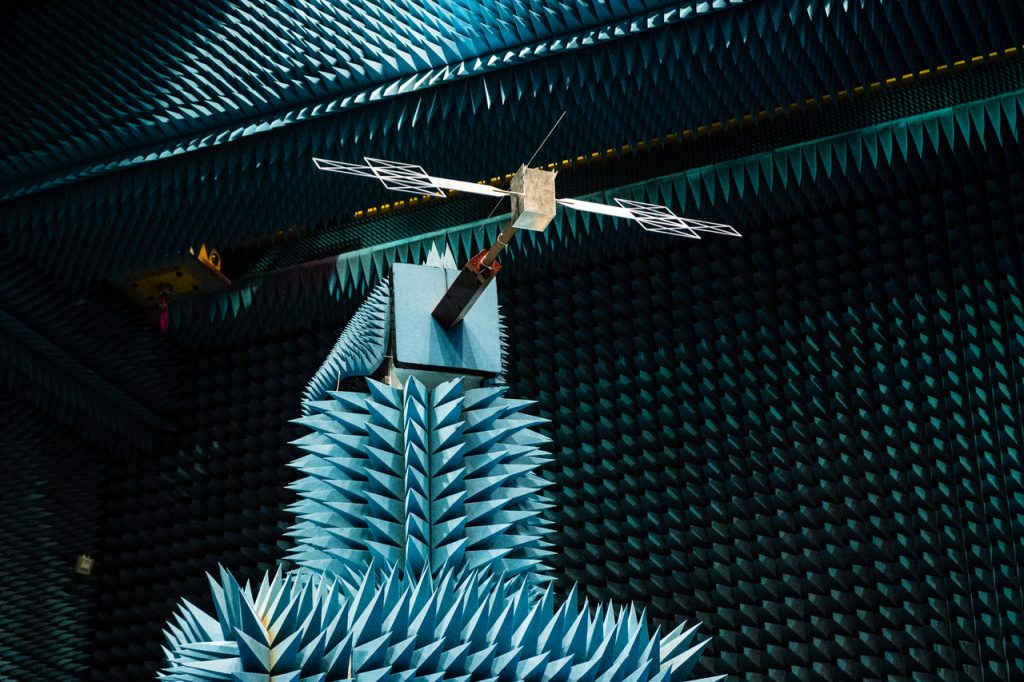
EnVision consists of an orbiter with three science payloads (Synthetic Aperture Radar, Subsurface Radar Sounder, IR mapper and IR and UV spectrometer suite) and a Radio Science investigation.

RSLab plays a major role in EnVision being involved in the core science team and having the responsibility of one of the three instruments, the subsurfaceradar sounder designed to study the subsurface of the planet. This radar will enable the study of the subsurface geology by measuringthe shallow Venus subsurface with the following main scientific goals:

– Characterization of the different stratigraphic and structural patterns of the subsurface.
– Mapping the vertical structure of geologic units by exploring the subsurface properties of features such as tessera, plains, lava flows and impact debris.
– Detection of subsurface structures non directly linked with surface.
– Study the volcanism phenomena and their impact on the geological evolution of the Venusian topography.
– Analysis of the total electron content of the ionosphere.

More details on the selected mission concepts here

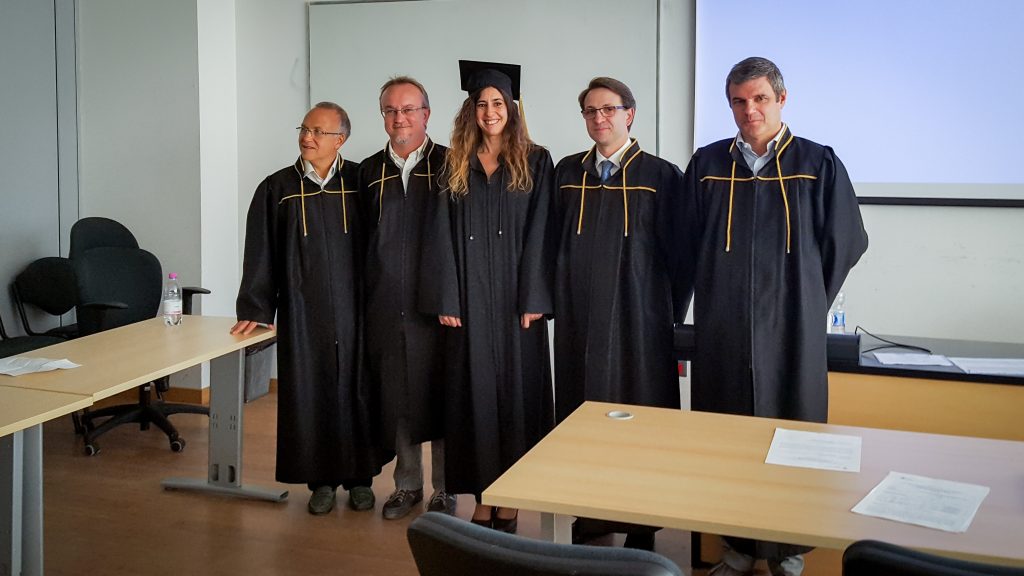
On Tuesday April 17, Leonardo Carrer defended his PhD thesis on “Advanced Signal Processing Methods for Planetary Radar Sounder Data” (supervisor Lorenzo Bruzzone). The committee awarded the PhD in Information and Communication Technology.
Congratulations to Leonardo!

On Friday April 13, Yady Tatiana Solano Correa defended her PhD thesis on “Advanced Methods for the Analysis of Multitemporal Multispectral Satellite Images” (supervisor Francesca Bovolo). The committee awarded the PhD in Information and Communication Technology.
Congratulations to Tatiana!

ESA’s Jupiter Icy Moons Explorer – JUICE – in which RSLab is the Principal Investigator of the “Radar for Icy Moon Exploration” (RIME) passed an important milestone, the ground segment requirements review, with flying colours, demonstrating that the teams are on track in the preparation of the spacecraft operations needed to achieve the mission’s ambitious science goals.
Read more here

Copyright: NASA/JPL/DLR/ESA/ATG medialab

A research developed at RSLab has been published on the very prestigious Nature Communication scientific journal. The paper “Solving for Ambiguities in Radar Geophysical Exploration of Planetary Bodies by Mimicking Bats Echolocation” by L. Carrer and L. Bruzzone presents a novel approach inspired to bats echolocation developed to solve ambiguities in the echo signals of planetary radars received from subsurface of celestial bodies.
Nature Communications is a multidisciplinary journal dedicated to publishing high-quality research in all areas of the biological, physical, engineering, chemical and Earth sciences. Papers published by the journal aim to represent important advances of significance to specialists within each field.

Link to the article http://dx.doi.org/doi:10.1038/s41467-017-02334-1

More details available on the national and regional press