
The RSLab is deeply involved in the application of the results obtained in the developed researches to the real-world domain. In particular, the members of the RSLab have been involved in important national and international projects funded by different organizations. A selection of the most recent projects is reported below:
Current Projects
PRISMALearn - Advanced machine learning techniques for PRISMA mission data fusion and image analysis (Italian Space Agency) [2022 - 2024]
Read more

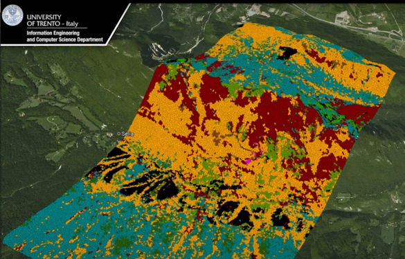
Multispectral camera takes small-scale farms into the digital age. (EU-H2020-MSCA-IF) [2021-2023]
Read more
Reinforcing the AI4EU Platform by Advancing Earth Observation Intelligence, Innovation and Adoption. (EU-H2020-ICT-IA) [2021 - 2023]
Read more
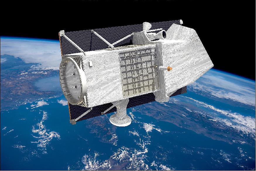
Phase 0, A and B1 study of the Sub-Surface Radar Sounder (SRS) instrument for the EnVision mission to Venus (European
Read more

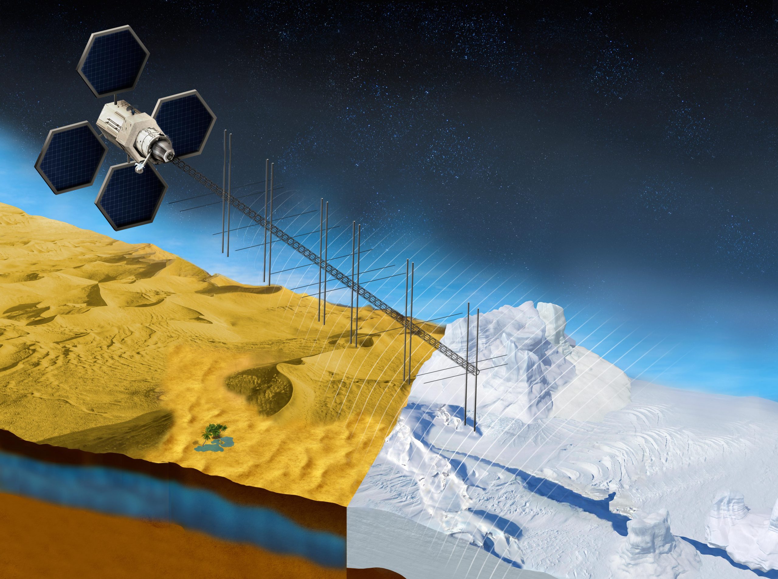
Design, development, and scientific exploitation of the Radar for Icy Moon Exploration (RIME) instrument for the JUpiter ICy moons Explorer
Read more
Past Projects
From Copernicus Big Data to Extreme Earth Analytics (ExtremeEarth), European Commission (H2020-ICT-2018-2020, RIA) [2019-2021].
Read more
Technological evolution and experimental validation of an airborne radar in VHF and UHF bands (frequency lower than 1 GHz) (Italian
Read more
SEOM – Scientific Exploitation of Operational Missions – S2-4Sci Land and Water – Multi-temporal Analysis (European Space Agency) [2016-2019]
Read more
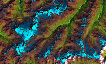
Improve the science of pocesses within the cryosphere by integrating hydrological modelling with remote sensing in a multi-level data fusion
Read more
- MS-TS – Analysis of MultiSensor VHR image Time Series (DigitalGlobe Foundation) [2014-2016].
- A novel integrated system for the analysis of very high spatial and spectral resolution remote sensing data (MIUR-Italian Ministry of the Education, Research and University) [2014-2016].
- RAMSES – RAdarsat2 based Monitoring of Surface ESsential variables: An integrative framework for retrieval of soil and vegetation parameters (moisture and biomass) in agricultural areas (Canadian Space Agency) [2013-2015].
- ITPAR (phase 3) – India-Trento Program for Advanced Research – Advanced methods for the analysis of optical and radar remote sensing images acquired by last generation satellite systems – [2012-2015]
- Advanced remote sensing systems for environmental monitoring – [2010-2015]
- Evaluation of Digital Elevation Models derived from TerraSAR-X data (DLR – German Aerospace Center)-[2010-2015]
- NEWFOR/FORLIDAR – Automatic estimation of forest dendrometric variables in complex forests by using LiDAR and Hyperspectral data [2013-2014].
- SISAR – Automatic Recognition of Very High Resolution SAR Images – [2010-2014]
- MaleRS – Machine learning techniques for the analysis and classification of the last generation of remote sensing data (Outgoing post-doc of Claudio Persello to Max Planck Institute for Biological Cybernetics, Empirical Inference department in cooperation with University of Trento funded by Trento Autonomous Province) – [2011-2014]
- FORLIDAR (phase 3) – Methods for the estimation of forest volume and biomass from LIDAR and Hyperspectral data – [2011-2012]
- Development and validation of multitemporal image analysis methodologies for monitoring of structures and infrastructures after natural disasters (Italian Space Agency) – [2009-2012]
- FORLIDAR (phase 2) – Methods for the estimation of forest density and structure from LIDAR and Hyperspectral data [2009-2010]
- ITPAR (phase 2) – India-Trento Program for Advanced Research – Advanced techniques for remote sensing image processing and recognition – [2008-2010]
- LIMES – Land and sea integrated monitoring for European security (Integrated Project FP6-2005- European Union) [2006-2010]
- HYPERKERNEL – Development of advanced semi-supervised kernel methods for classification of hyperspectral remote sensing images (MIUR – Italian Ministry of the Education, Research and University, Integrated Actions Italy-Spain) [2006-2009]
- FORLIDAR (phase 1) – Methods for forest area classification based on LiDAR and Hyperspectral data fusion [2007-2009]
- FOREST-PAT – Feasibility study on the application of remote sensing to forest management in the Trentino region (Autonomous Province of Trento, Italy) [2006-2007]
- ITPAR (phase 1) – India-Trento Program for Advanced Research – Advanced techniques for remote sensing image processing and recognition – [2004-2007]
- Processing and Analysis of Multitemporal and Hypertemporal Remote Sensing images for Environmental Monitoring (MIUR – Italian Ministry of the Education, Research and University. Prime contractor) [2003-2004]
- Analysis and classification of hyperspectral remote-sensing images (MIUR – Italian Ministry of the Education, Research and University) [2002-2003]
- TIDE – Tidal Inlets Dynamics and Environment (European Community project; Programme: Energy, Environment and sustainable Development; Research Priority: Integrated studies on coastal zone changes) [2001-2004]
- MA_MISS – Automatic techniques for the analysis of hyperspectral images acquired on the Marsis surface (Italian Space Agency) [2001-2003]
- Development of automatic methodologies for the analysis of data acquired by satellite InFrared sensors [2001-2002]
- Experimental methodologies for water colours analysis by MERIS data (Italian Space Agency) [2001-2002]
- Hyperspectral sensors (DAIS 7915, ROSIS) over the Venice Lagoon (DLR – German Remote Sensing Data Center) [2000-2001]
- Novel methodologies to the integration, management and analysis of remotely-sensed data for monitoring hydrosphere, rain-fall, and soil (Italian Space Agency) [1998-2001]