

RSLab coordinated a project on the analysis of multitemporal Sentinel 2 images funded by the European Space Agency (ESA) obtaining very important results. These results are now under the spotlight in the ESA public outreach activities.
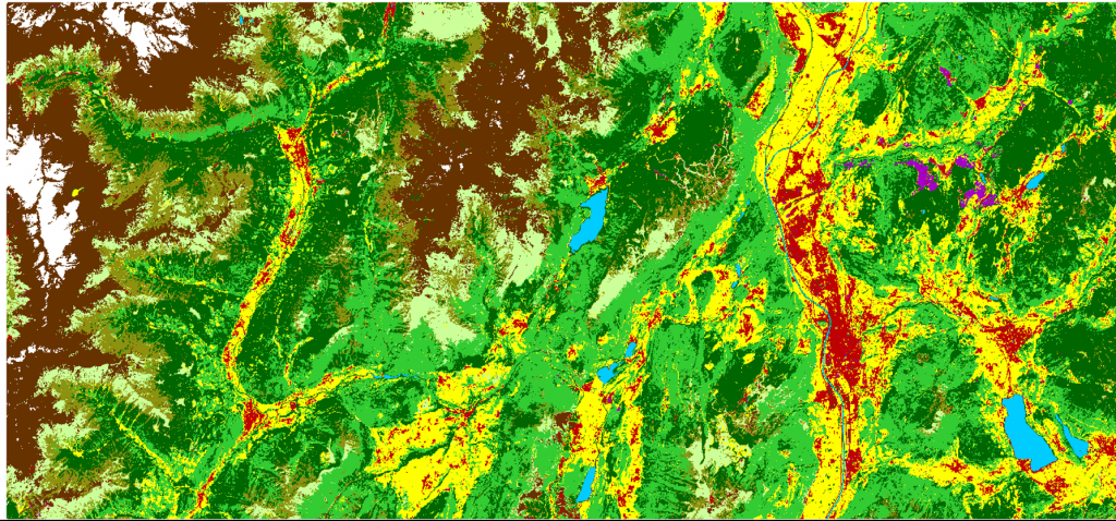
In the context of ESA SEOM “Multitemporal Analaysis” project three main methodological and application areas have been addressed related to: i) the automatic and unsupervised updating of land cover maps by using machine learning techniques applied to multitemporal Sentinel 2 images, ii) the automatic analysis of dense Sentinel 2 image time series for precision agriculture; and iii) the automatic detection of deforestation in Indonesia related to palm oil plantations.
More details on the results related to the unsupervised updating of land cover maps can be found on the ESA website .
For more info on the related scientific paper refer to:
A Novel Approach to the Unsupervised Update of Land-Cover Maps by Classification of Time Series of Multispectral Images,
IEEE Transactions on Geoscience and Remote Sensing, , In press, 2019.
DOI 10.1109/TGRS.2018.2890404
