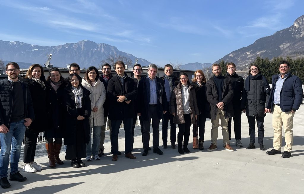
Annual review of the ESA CCI + HRLC project!
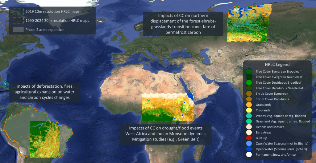
The HRLC CCI studies and investigates the role of the spatial resolution of land cover and land cover change in supporting climate modelling research at regional scale in key climatic areas in Africa, South America and Siberia. During Phase 1 of the programme, the Consortium generated and validate land cover maps and land cover change using Earth Observation data acquired over the last decades, from 1990 to 2019. This enables the study of land cover and land cover change and their impact on Earth Climate at regional scale using high spatial resolution Earth Observation data (i.e., 10-30 m).
In Phase 2, the HRLC project aims at updating the historical time series of land cover maps at 30m resolution from 1990 to 2019 with the maps for 2024. Moreover, the products for the mapped area in South America will be extended to the full Amazon river basin, paving the way towards continental-scale climate modelling at high resolution!


